Unique geography makes for challenging wind measurements
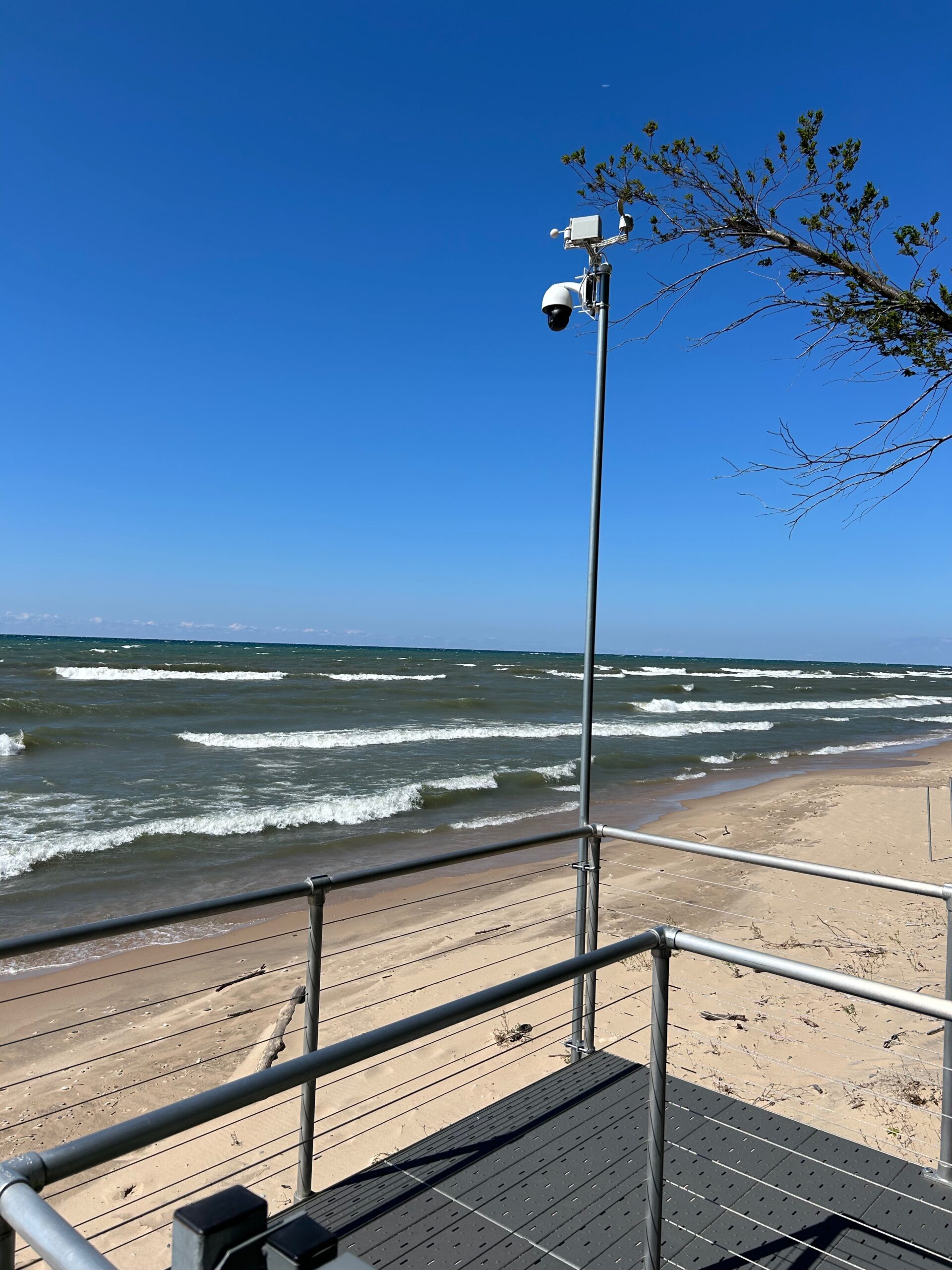
Wind readings are tricky here along the Lake Michigan shoreline. A west-to-east wind blows over 100 miles of open, unobstructed water before hitting the shoreline and the 30′ elevated bank. Scootercam’s anemometer is mounted about 15′ above the beach. Officially, an anemometer should be positioned 10 meters (33 feet) above the terrain, with no nearby obstructions. We’re actually well below terrain to the east, so Scootercam’s readings are always going to be somewhat ‘off.’
To come up with more reliable wind data, we use Visual Crossing’s weather API – their service interpolates data from many sources to produce most of the weather data we use at Scootercam. As this latest iteration of Scootercam rolls out, we’re including data from both Visual Crossing and our own instruments. When two readings are reported, Visual Crossing’s is reported first, and the subscript reading is the one from the local instruments.
Here’s a cool, deep dive into how Visual Crossing creates forecasts.